Saturday was a great weather day and Sunday will be pleasant, too.
However, there will be a few noticeable changes on Sunday ahead of a dynamic storm system poised to sweep across Texas Monday. Here’s what you need to know about the weather over the next couple of days:
SUNDAY
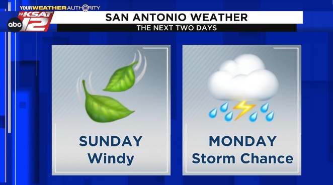
There will be another big temperature swing from morning to afternoon, so dress in layers.The wind will be more noticeable around San Antonio with gusts up to 30 mph.Gusts will be closer to 40 mph across the Hill Country where there will be a higher risk of fire danger.
SUNDAY NIGHT
It will quickly become cloudy and muggy Sunday night.Rain chances will increase after midnight and scattered rain will be around by dawn Monday.
MONDAY
Expect a messy morning commute Monday thanks to scattered rain.While we’ll mostly just see plain old rain, don’t be surprised to hear a rumble of thunder – but there won’t be severe weather in the morning.The best chance of rain on Monday will be in the morning hours, with showers tapering off after lunch.After a lull in showers & storms through early afternoon, some isolated storms could redevelop late in the afternoon.At this time, the chance of any strong to severe storms is highest east of San Antonio with the main concerns being hail and damaging winds; however, forecast trends will be monitored carefully over the next 24 to 36 hours.Rain chances end for everyone Monday night and it will be sunny Tuesday.
STAY IN-THE-KNOW
Keep up with the forecast and stay on top of any severe weather threat by downloading the KSAT Weather Authority App for Apple or Android. 📱 Be sure to allow notifications for updates, including livestreams from KSAT meteorologists!

